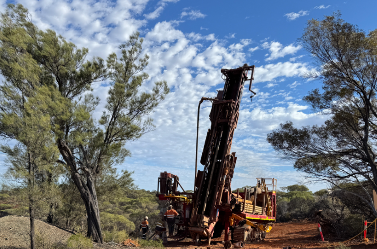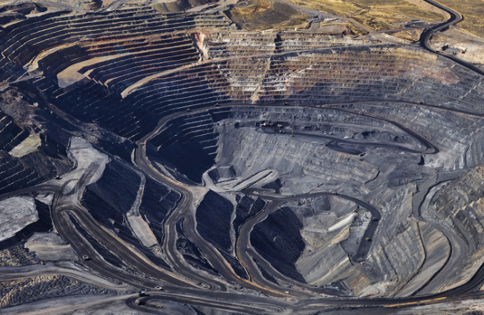
Wedoany.com Report-Nov. 25, Max Resource has initiated a high-resolution airborne LiDAR survey over its 700-hectare Mora gold property, located approximately 85 km south of Medellín in Colombia’s prolific Middle Cauca gold belt.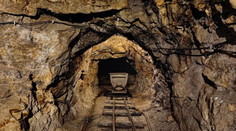
According to historic technical reports, 33 artisanal underground mines have been recorded on the Mora property.
The survey forms part of the company's exclusive option to acquire 100 percent of the KK6-08031 mining concession and supports ongoing exploration advancement across the property.
LiDAR technology delivers precise digital terrain models (DTMs) and digital surface models (DSMs) alongside high-resolution imagery, enabling detailed three-dimensional mapping even beneath dense vegetation cover.
The primary objective is to define high-priority drill targets at the BQ, BX, and NAN zones while identifying previously unmapped artisanal mine workings. Historical records document 33 underground artisanal mines on the property, nine of which Max Resource has already accessed and mapped, with depths ranging from 5 metres to 90.5 metres.
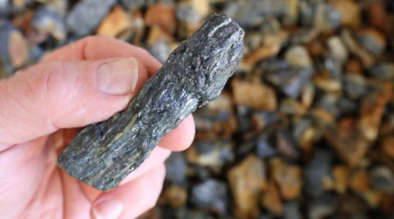
Channel sampling inside these workings is regarded as equivalent to early-stage drilling because it exposes fresh rock surfaces, revealing key geological features such as lithology, hydrothermal alteration, sulphide types, structural controls, veins, and veinlets.
Max head geologist Sergio Cocunubo stated: "The LiDAR datasets will be used to delineate drill design on the BX, BQ and NAN targets, providing unprecedented ground details to be observed for the first time.
"Sampling of artisanal mines and workings were significant steps conducted at Collective Mining's Guayabales and Continental Gold’s Buritica, in which we identified geological characteristics and confirmed active galleries in gold and silver production."
Results from the survey will generate an accurate 3D model of the entire Mora property, forming the foundation for Max Resource's upcoming maiden drilling programme—the first known drilling campaign on the KK6-08031 concession.
The systematic approach of combining airborne LiDAR with detailed underground channel sampling is designed to accelerate target definition and maximise the effectiveness of future drilling while building a comprehensive understanding of the mineralised system across the property.